Professional Land Surveyor Services in Florida
Discover trusted and precise land surveying solutions tailored to meet your needs. At Atlantic Coast Surveying, we combine decades of expertise with state-of-the-art technology to deliver accurate results for every project, big or small.
Precision in Every Detail
Explore Our Land Surveying and Mapping Services in Florida
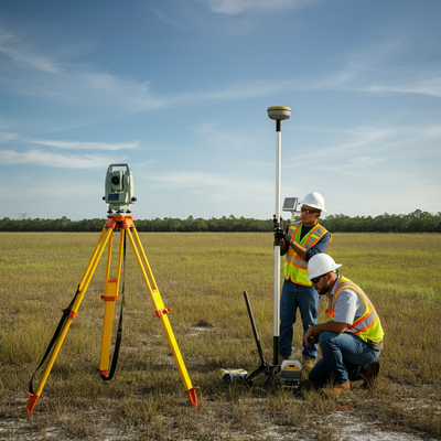
We specialize in providing reliable and precise land surveying services across Florida. With decades of expertise, cutting-edge technology, and a commitment to excellence, our team is dedicated to meeting the unique needs of every client. Whether you're planning a residential project, managing a commercial development, or navigating coastal regulations, we offer comprehensive solutions to support your goals.
ALTA/NSPS Surveys
Our ALTA/NSPS surveys deliver detailed and reliable property data for lenders, buyers, and property owners. Designed to meet stringent national standards, these surveys provide clarity and confidence during property transactions.
Boundary Surveys
With our boundary surveys, we establish clear and legally recognized property lines. Ideal for resolving disputes or prepping land for development, these surveys ensure your property boundaries are accurately defined.
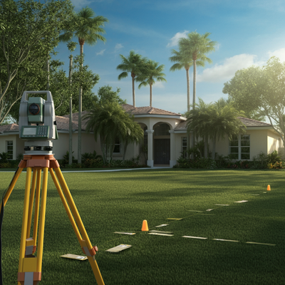
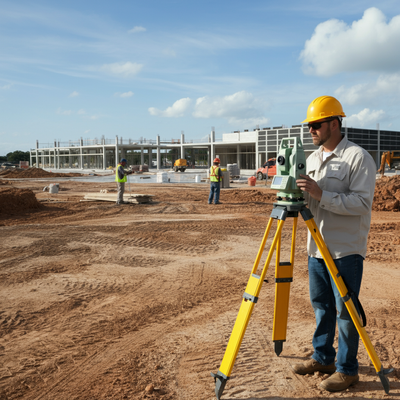
Construction Surveys
Streamline your construction projects with our precise and reliable construction surveys. From initial site layout to final as-built plans, we provide the data you need to stay on track and meet project goals.
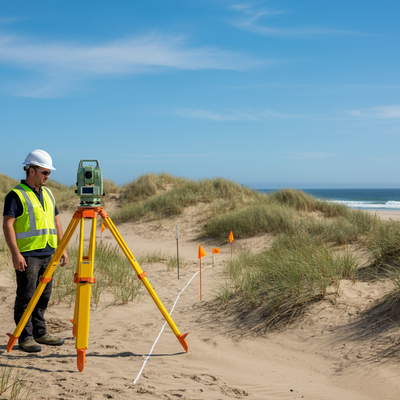
Coastal Construction Control Line Survey
Navigate Florida’s coastal regulations seamlessly with our specialized CCCL surveys. These services ensure compliance with state requirements while protecting your coastal projects against potential setbacks.
Distance Letter
Our distance letters offer accurate measurements to verify compliance with local standards. These documents are essential for licenses and permits where specific distances from regulated facilities are required.
Elevation Certificate
Simplify the flood insurance process with our FEMA-compliant elevation certificates. We deliver precise elevation data to assess flood risk and help you meet regulatory and insurance requirements.
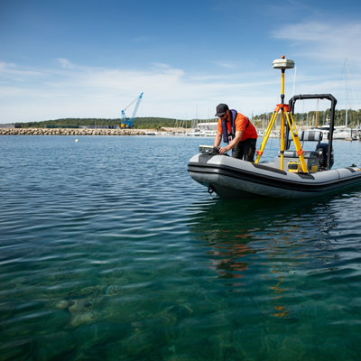
Hydrographic Survey
Optimize waterfront and marine projects with our advanced hydrographic surveys. By mapping water depths and seabed features, we provide the critical data needed for safe and effective marine planning and construction.

3D Scanning
Experience unparalleled accuracy with our cutting-edge 3D scanning services. Perfect for complex projects, these high-definition scans capture every detail needed for precise planning, design, and construction decisions.
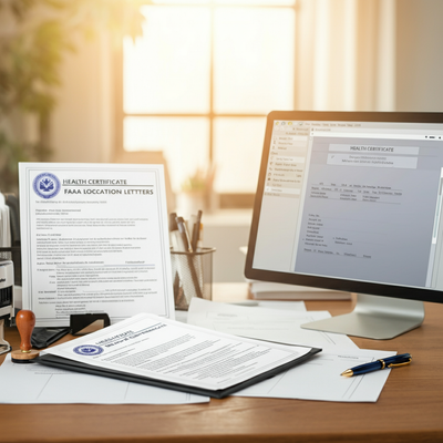
Letters & Certificates
We provide a range of essential letters and certificates, including Health Department certificates and FAA location letters. These documents are tailored to meet regulatory standards and project-specific requirements.
Your Trusted Surveying Partner
Why Work with Atlantic Coast Surveying?
When you choose Atlantic Coast Surveying, you’re partnering with a team committed to delivering excellence. Here’s what sets us apart:
Licensed and Insured Professionals
Our skilled surveyors bring unmatched expertise and meticulous attention to detail, ensuring every project is completed to the highest standards.
Advanced Technology for Superior Accuracy
Leveraging state-of-the-art tools like GPS systems and 3D scanning, we provide precise and efficient surveying solutions tailored to your project's needs.
Customer-First Approach
Your satisfaction is our priority. From the initial consultation to project delivery, we provide clear communication and real-time updates, ensuring you’re informed every step of the way.
Seamless and Transparent Service
Enjoy a stress-free experience with transparent pricing, personalized timelines, and the ability to review draft surveys before final delivery. We’re here to make your project a success.