Distance Letters from Atlantic Coast Surveying
Tailored to support precise planning and legal needs, Atlantic Coast Surveying specializes in providing Distance Letters, also known as distance surveys. Prepared by our licensed surveyors, these formal documents certify the exact distance between two or more points, delivering critical measurements for legal or construction purposes.
Precision You Can Trust in Distance Letters
When it comes to Distance Letters, Atlantic Coast Surveying sets the standard for precision and reliability. Our skilled surveyors specialize in delivering accurate and certified measurements between specified points, tailored to meet your legal and construction needs.
With over 35 years of experience and cutting-edge technology, we ensure every document is dependable and compliant with industry standards. Whether you're resolving boundary disputes, ensuring legal compliance, or planning construction projects, you can trust us to provide the precise data you need to make confident decisions every step of the way.
Understanding Your Challenges
Navigating legal and construction projects often demands precise certification of distances between specific points. Without accurate and reliable documentation, projects can face complications such as delays, disputes, or even legal challenges. Whether resolving boundary questions or meeting construction specifications, precise data is essential. That’s why Atlantic Coast Surveying provides Distance Letters to eliminate uncertainty, ensuring clarity and confidence for your projects.
Distance Letters - The Solution
A Distance Letter, or distance survey, is a formal document prepared by a licensed surveyor to certify the precise measurement between two or more points. These documents are indispensable for legal certification, construction planning, and dispute resolution. At Atlantic Coast Surveying, we leverage our unmatched expertise and modern technology to deliver accurate and dependable data, supporting smooth project execution.
Key Features and Benefits
- Legal Compliance: Guarantees measurements adhere to the required legal standards, avoiding disputes and ensuring project approvals.
- Unmatched Precision: Highly detailed measurements crafted with advanced surveying technology to meet exacting specifications.
- Expertise You Can Trust: Backed by over 35 years of surveying excellence, our team ensures reliable, professional results.
- Streamlined Projects: Reduces delays and risks by providing actionable insights that drive project efficiency.
- Custom Solutions: Tailored Distance Letters to meet the unique demands of each project, ensuring you get precise, relevant data.

Precision in Every Measure
Who Benefits from Distance Letters?
Discover how Distance Letters provide essential documentation and reliable measurements tailored to meet the needs of professionals and industries requiring precise distance certifications for legal and construction purposes.
Real Estate Professionals
Streamline property transactions with accurate distance certifications that ensure clear boundaries and reduce disputes.
Construction Companies
Enhance project planning and execution with precise measurements that support efficient and compliant construction processes.
Legal Professionals
Depend on certified distance documentation to address boundary disputes and property-related legal cases with confidence.
Lenders and Title Companies
Secure reliable distance certifications to verify property details and confidently support funding for developments.
Government Agencies
Maintain accuracy and adherence to regulations in public projects with dependable Distance Letters.
Environmental Consultants
Facilitate responsible development by ensuring projects align with environmental compliance through precise data.
Engineers and Architects
Support innovative designs and structural integrity by incorporating exact distance measurements into project planning.
Insurance Providers
Accurately assess property risks and determine coverage needs using verified distance data.
Precision in Every Step
Distance Letter Process
At Atlantic Coast Surveying, we take a thorough and transparent approach to preparing Distance Letters. Our streamlined process ensures precision, clarity, and compliance for your projects while addressing all relevant legal and regulatory requirements.
Initial Consultation
We begin with a detailed consultation to understand the specifics of your project. Whether your Distance Letter is needed for legal purposes, construction planning, or property transactions, we tailor our approach to meet your goals and simplify the process.
Site Evaluation and Scope Definition
Our team carefully evaluates the project requirements, reviewing key locations and boundaries that require measurement. This step ensures we capture the critical details necessary for producing accurate and trustworthy Distance Letters.
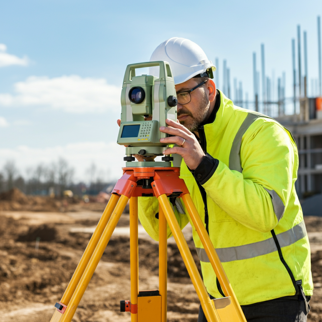
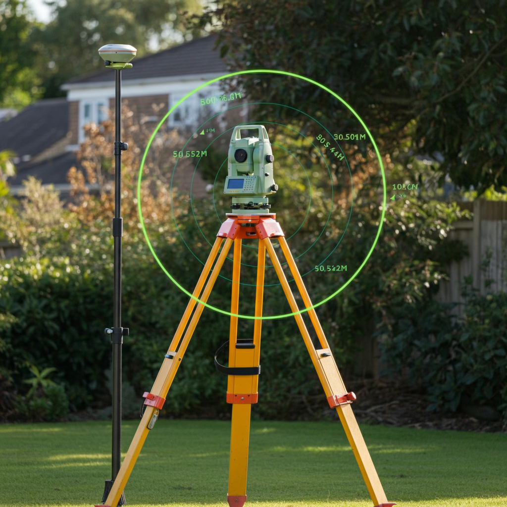
Data Collection
Using advanced surveying equipment such as GPS and total stations, we measure distances with precision and document all necessary details. This includes clearly identifying critical points and ensuring each measurement meets the highest standards of accuracy.
Analysis and Reporting
Once data collection is complete, we analyze the findings and compile them into a comprehensive Distance Letter. Each document is precise, easy to understand, and designed to support decision-making while adhering to all legal and industry standards.
Frequently Asked Questions
Everything You Need to Know About Distance Letters
Get clear answers to common questions about Distance Letters. Learn how they provide accurate measurements, why they’re crucial for legal and development needs, and how they support property transactions and project planning with precision and reliability.
What is a Distance Letter, and why is it important?
A Distance Letter is a certified document that provides precise measurements between specific property features or boundaries. These letters are essential for legal purposes, construction planning, or property transactions where exact distances must be verified. At Atlantic Coast Surveying, we ensure every Distance Letter includes highly accurate data, helping our clients achieve clarity and compliance in their projects.
Who typically needs a Distance Letter?
Distance Letters are commonly used by real estate professionals, construction companies, attorneys, developers, lenders, and government agencies. They are valuable for determining property boundaries, verifying setbacks, and ensuring compliance with zoning or regulatory requirements. Whether you’re resolving a legal dispute or planning a development, Atlantic Coast Surveying provides Distance Letters tailored to meet your specific needs.
How are Distance Letters prepared?
At Atlantic Coast Surveying, we follow a detailed process to prepare Distance Letters. This includes an initial consultation to understand your needs, a thorough site evaluation, accurate data collection using advanced GPS tools, and comprehensive reporting. Each document is reviewed to ensure it meets strict accuracy and regulatory standards.
Can a Distance Letter resolve boundary disputes?
Yes, Distance Letters can play a crucial role in boundary dispute resolution. They provide certified measurements that give clarity about property boundaries and distances. Attorneys and property owners trust Atlantic Coast Surveying for accurate, impartial data that helps resolve disputes efficiently and professionally.
Are Distance Letters required by law for certain projects?
While not always mandated by law, Distance Letters are often required to comply with zoning codes, setback regulations, or development permits. They also add value by minimizing risks in real estate transactions or construction projects. Our expertise at Atlantic Coast Surveying ensures that all Distance Letters we provide satisfy both legal and regulatory needs.
How long does it take to complete a Distance Letter?
The turnaround time for a Distance Letter depends on the complexity of the project and the size of the property. Typically, it takes several days to complete the on-site evaluation, data analysis, and reporting. At Atlantic Coast Surveying, we prioritize efficiency and accuracy, delivering your Distance Letter in a timeframe that aligns with your project requirements.
What technology does Atlantic Coast Surveying use for Distance Letters?
We use advanced surveying technology, including GPS systems, total stations, and other state-of-the-art tools, to ensure precise measurements. Our commitment to using the latest technology allows us to provide the highest level of accuracy and reliability in every Distance Letter.
How do Distance Letters benefit real estate transactions?
Distance Letters provide vital information about property boundaries and setbacks, helping buyers, sellers, and lenders make informed decisions. For instance, they can identify potential zoning issues or confirm property limits during a transaction. Partnering with Atlantic Coast Surveying ensures you have accurate documentation to support a smooth and successful sale.
What makes Atlantic Coast Surveying the leader in Distance Letters?
Our reputation for accuracy, reliability, and professionalism sets us apart. With years of experience and a team of licensed surveyors, we tailor our services to meet the unique needs of each client. Whether you’re involved in construction, legal proceedings, or real estate, Atlantic Coast Surveying delivers Distance Letters you can trust.
How do I get started with obtaining a Distance Letter?
Getting started with a Distance Letter is simple. Contact Atlantic Coast Surveying to schedule an initial consultation, where we’ll discuss your specific needs and project details. From there, we’ll guide you through the entire process, ensuring you receive a precise, compliant Distance Letter tailored to your goals. Call us today or visit our website to learn more!
Your Trusted Surveying Partner
Why Work with Atlantic Coast Surveying?
When you choose Atlantic Coast Surveying, you’re partnering with a team committed to delivering excellence. Here’s what sets us apart:
Licensed and Insured Professionals
Our skilled surveyors bring unmatched expertise and meticulous attention to detail, ensuring every project is completed to the highest standards.
Advanced Technology for Superior Accuracy
Leveraging state-of-the-art tools like GPS systems and 3D scanning, we provide precise and efficient surveying solutions tailored to your project's needs.
Customer-First Approach
Your satisfaction is our priority. From the initial consultation to project delivery, we provide clear communication and real-time updates, ensuring you’re informed every step of the way.
Seamless and Transparent Service
Enjoy a stress-free experience with transparent pricing, personalized timelines, and the ability to review draft surveys before final delivery. We’re here to make your project a success.