Hydrographic Surveys in Florida
Precise marine and shoreline surveying tailored to your needs. At Atlantic Coast Surveying, we specialize in Hydrographic Surveys, utilizing cutting-edge technology and years of expertise to deliver accurate and reliable data for every project.
Precision You Can Trust in Hydrographic Surveys
When you need accurate Hydrographic Surveys in Florida, Atlantic Coast Surveying delivers unmatched reliability. Our experienced team specializes in surveying marine and shoreline environments, providing precise data tailored to your unique project requirements. With over 35 years of expertise and state-of-the-art technology, we ensure clear, detailed, and timely results to support waterfront developments, navigational safety, and environmental assessments. Trust us for the accurate insights you need to make informed decisions every step of the way.
Understanding Your Challenges
Marine and shoreline projects can be overwhelming without accurate data on underwater topography, tidal changes, and water depths. These uncertainties can lead to navigational risks, environmental disputes, or costly project delays. We understand that addressing these challenges is essential, which is why our hydrographic surveys provide the precise measurements and insights you need to move forward confidently.
Hydrographic Surveys - The Solution
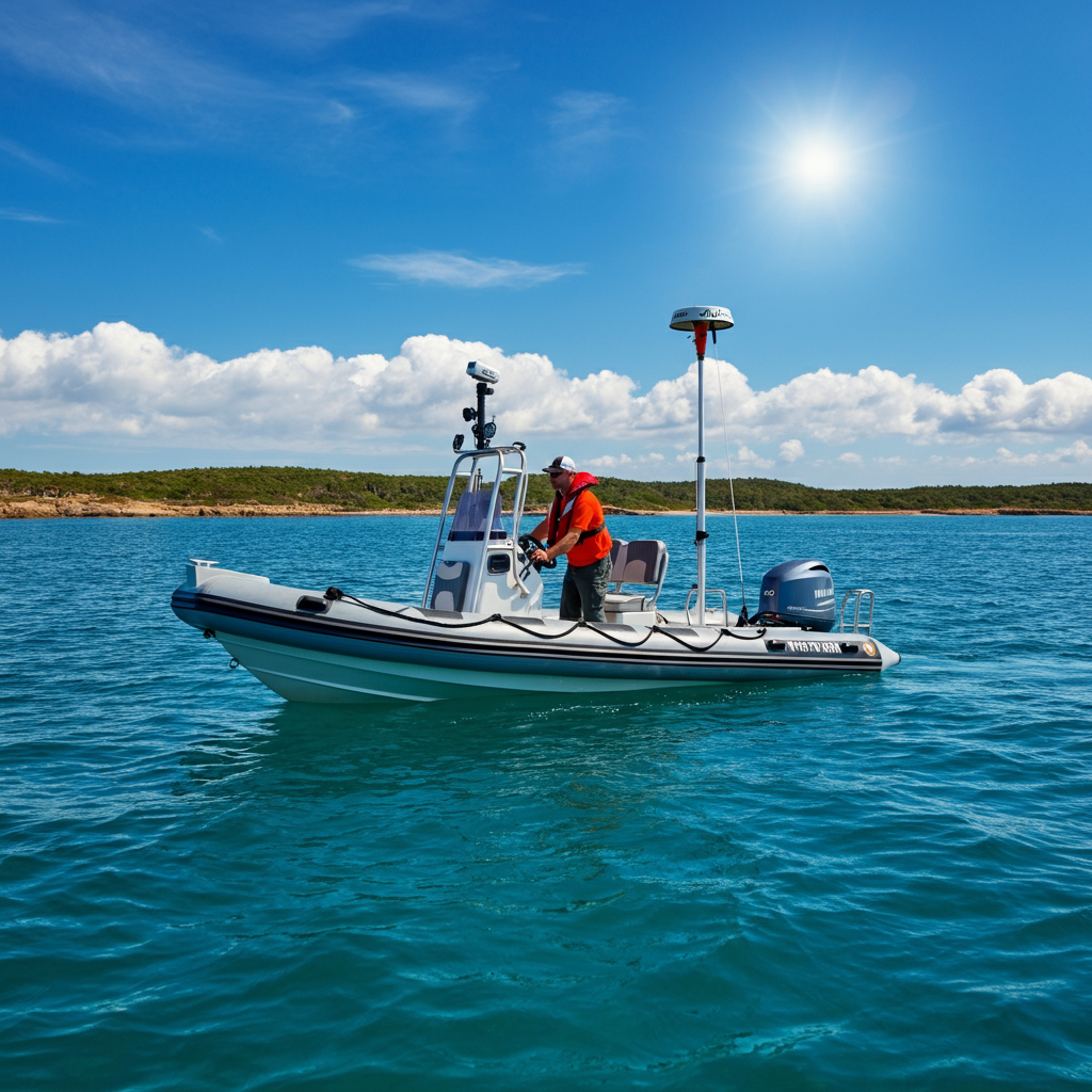
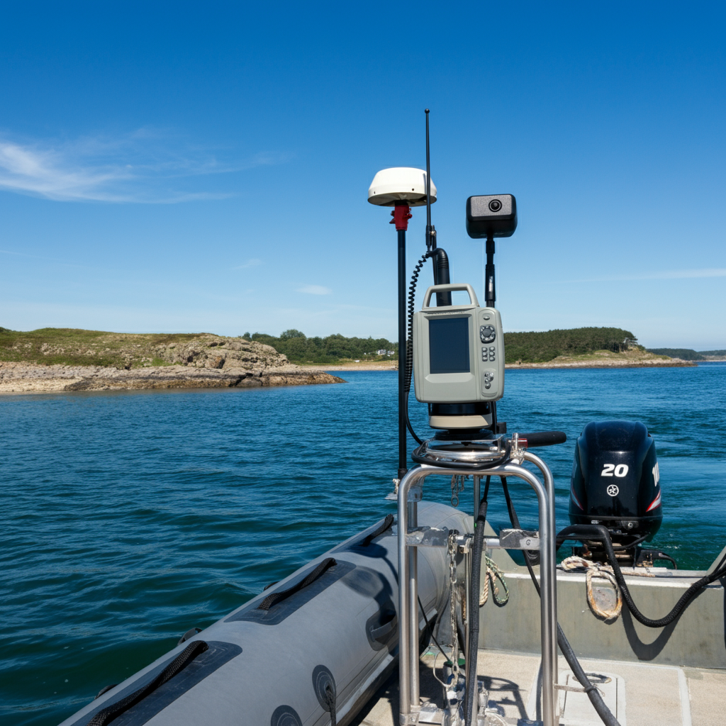
A Hydrographic Survey delivers critical data about water bodies, including depths, seabed contours, and tidal information. Essential for waterfront developers, environmental scientists, and maritime professionals, these surveys ensure safe navigation, compliant construction, and informed decision-making. At Atlantic Coast Surveying, we use advanced equipment and proven methodologies to provide you with accurate, reliable results tailored to your project.
Key Features and Benefits
- Detailed Analysis: Comprehensive data mapping water depths, underwater features, and tidal influences.
- Guaranteed Accuracy: Hydrographic surveys performed to the highest technical standards for dependable results.
- Expert Insights: Perfect for developers, port authorities, environmental specialists, and construction planners.
- Project Optimization: Mitigate risks, ensure compliance, and avoid costly delays with precise data.
- Advanced Technology: Utilizing cutting-edge sonar, GPS, and software for unparalleled precision.
Precision in Every Measure
Who Benefits from Hydrographic Surveys?
Discover how our Hydrographic Surveys deliver critical insights and dependable solutions tailored to meet the needs of a wide array of industries.
Waterfront Developers
Build smarter with accurate data on underwater conditions, ensuring safe and compliant project execution.
Maritime Professionals
Navigate safely with precise maps of water depths, seabed contours, and navigational hazards.
Environmental Scientists
Assess aquatic ecosystems with detailed survey data that supports conservation and restoration efforts.
Harbor and Port Authorities
Plan and maintain harbors efficiently with up-to-date hydrographic information for smooth operations.
Construction Planners
Prepare for waterfront construction with comprehensive data on tide impacts, seabed suitability, and water depth.
Government Agencies
Ensure the success of public works projects with reliable hydrographic insights for waterways and coastlines.
Energy Sector
Support offshore energy projects, from drilling to wind farms, with accurate underwater surveys.
Insurance Providers
Evaluate risks accurately by understanding underwater conditions that may impact maritime assets.
Precision in Every Step
Hydrographic Surveying Process
At Atlantic Coast Surveying, precision and transparency are at the heart of our hydrographic surveying approach. Here’s a detailed overview of our streamlined process, designed to deliver accurate and actionable results for your marine and shoreline projects.
Initial Consultation
We start with an in-depth consultation to understand the specific needs of your project, whether it involves waterfront development, navigation safety, or environmental assessments. This step ensures our services are tailored to your goals.
Site Assessment
Our experts conduct a thorough assessment of the waterbody to determine its characteristics and unique challenges. We evaluate factors such as water depths, tidal influences, and underwater terrain to prepare for precise data collection.
Data Collection
Using advanced sonar systems, GPS technology, and specialized hydrographic tools, we gather highly accurate data about underwater topography and conditions. Every element, from seabed features to depth measurements, is recorded with meticulous attention to detail.
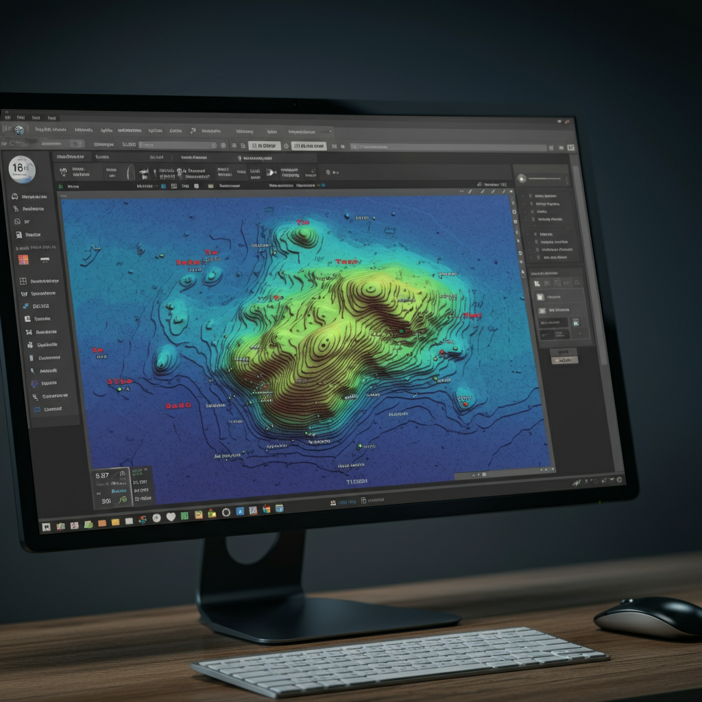
Analysis and Reporting
Once data collection is complete, our team carefully analyzes the findings to create detailed reports and maps. These results are designed to support informed decision-making, whether for construction planning, maritime operations, or environmental management.
Frequently Asked Questions
Everything You Need to Know About Hydrographic Surveys
Get clear answers to common questions about Hydrographic Surveys. Learn how these surveys work, why they’re critical, and how they support the success of marine and shoreline projects with accurate and actionable data.
What is a hydrographic survey and why is it important?
A hydrographic survey is the process of measuring and mapping underwater features such as seabed topography, water depths, and tidal patterns. These surveys are essential for projects like navigation safety, waterfront construction, and environmental analysis. They provide accurate data that supports informed decision-making for a range of marine and coastal activities.
How is a hydrographic survey conducted?
Hydrographic surveys are carried out using specialized tools such as sonar systems, GPS devices, and depth-sounding technology. The process includes gathering data on depth variations, underwater structures, and seabed conditions, which is then processed into detailed maps and reports.
Who benefits from hydrographic surveys?
Hydrographic surveys benefit a wide range of industries, including marine construction, port authorities, environmental management, offshore energy, insurance, and government agencies. These surveys provide critical insights for planning, risk assessment, and project execution.
What types of data are collected in hydrographic surveys?
Key data collected include depth measurements, seabed topography, tidal patterns, underwater obstructions, and sediment distribution. This information is compiled into detailed maps or models to meet the unique needs of each project.
How accurate are hydrographic surveys?
Hydrographic surveys are highly accurate when conducted by experienced professionals using advanced equipment. At Atlantic Coast Surveying, we ensure precision by leveraging state-of-the-art sonar systems, GPS technology, and rigorous quality control standards.
What are the main applications of hydrographic surveys?
Hydrographic surveys are used for a variety of purposes, including navigation safety, dredging projects, dock and harbor development, environmental studies, and offshore energy exploration. These surveys provide foundational data for both planning and operations in marine environments.
How long does a hydrographic survey take?
The timeframe for a hydrographic survey depends on the size, location, and complexity of the area being surveyed. Small-scale surveys may take a few days, while larger or more intricate projects can take weeks. We tailor our approach to each project to ensure accurate results within a reasonable timeframe.
How much does a hydrographic survey cost?
Costs vary based on the scope of the survey, the technology required, and the location. A straightforward survey in calm waters will cost less than a complex offshore study. At Atlantic Coast Surveying, we provide detailed cost estimates to ensure our clients understand the value of the service.
Are hydrographic surveys required by law?
Hydrographic surveys are often required for regulatory compliance in specific industries, such as offshore energy or government projects. They also help ensure safety and accuracy in projects that involve marine construction or navigation.
How do I choose a reliable hydrographic survey company?
Contact UsSelecting a trusted survey company involves looking at their experience, certifications, and use of technology. At Atlantic Coast Surveying, we have a proven track record of delivering precise, reliable results for diverse industries. Our team combines technical expertise with advanced tools to meet the unique needs of each client.
If you have additional questions or want to discuss your project, contact Atlantic Coast Surveying today! We’re here to provide the professional insights and services you need.
Your Trusted Surveying Partner
Why Work with Atlantic Coast Surveying?
When you choose Atlantic Coast Surveying, you’re partnering with a team committed to delivering excellence. Here’s what sets us apart:
Licensed and Insured Professionals
Our skilled surveyors bring unmatched expertise and meticulous attention to detail, ensuring every project is completed to the highest standards.
Advanced Technology for Superior Accuracy
Leveraging state-of-the-art tools like GPS systems and 3D scanning, we provide precise and efficient surveying solutions tailored to your project's needs.
Customer-First Approach
Your satisfaction is our priority. From the initial consultation to project delivery, we provide clear communication and real-time updates, ensuring you’re informed every step of the way.
Seamless and Transparent Service
Enjoy a stress-free experience with transparent pricing, personalized timelines, and the ability to review draft surveys before final delivery. We’re here to make your project a success.